Boundary Surveys
Performed to establish the location of boundary lines in accordance with recorded documents, field evidence, and applicable laws. These surveys provide clarity and legal defensibility when property lines are in question.
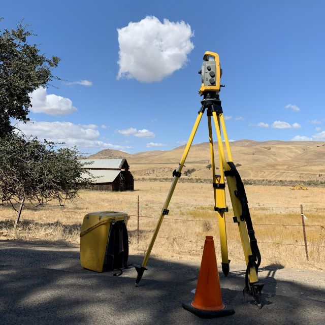
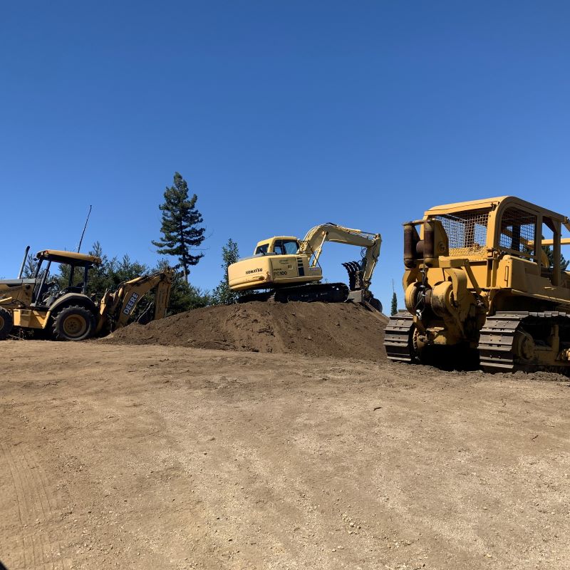
Construction Staking
Construction staking, also known as construction layout, involves transferring design plans from engineering or architectural drawings onto the project site. Accurate staking ensures that improvements are built in the correct location, elevation, and alignment.
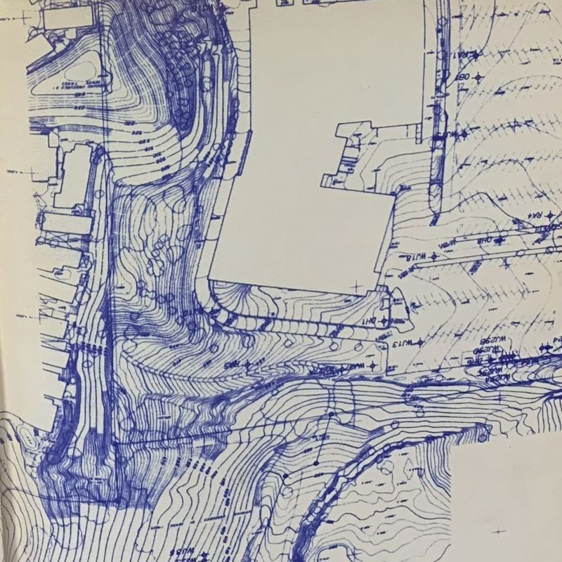
Topographic Mapping
- Topographic surveys document existing ground conditions, elevations, and visible features on a site.
- These surveys are essential for engineering design, drainage analysis, grading plans, and development projects
Copyright (c) 2026, Goetz Surveys; all rights reserved.
Template by Bootstrapious. Ported to Hugo by DevCows.